Understanding Lothal beyond the archaeological site
Lothal Region
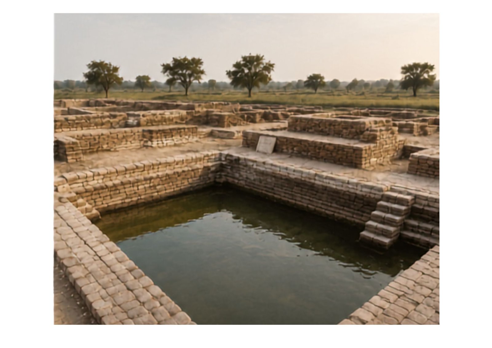
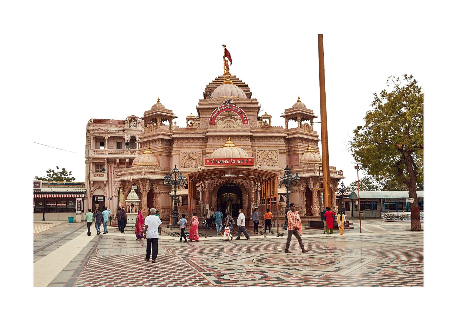
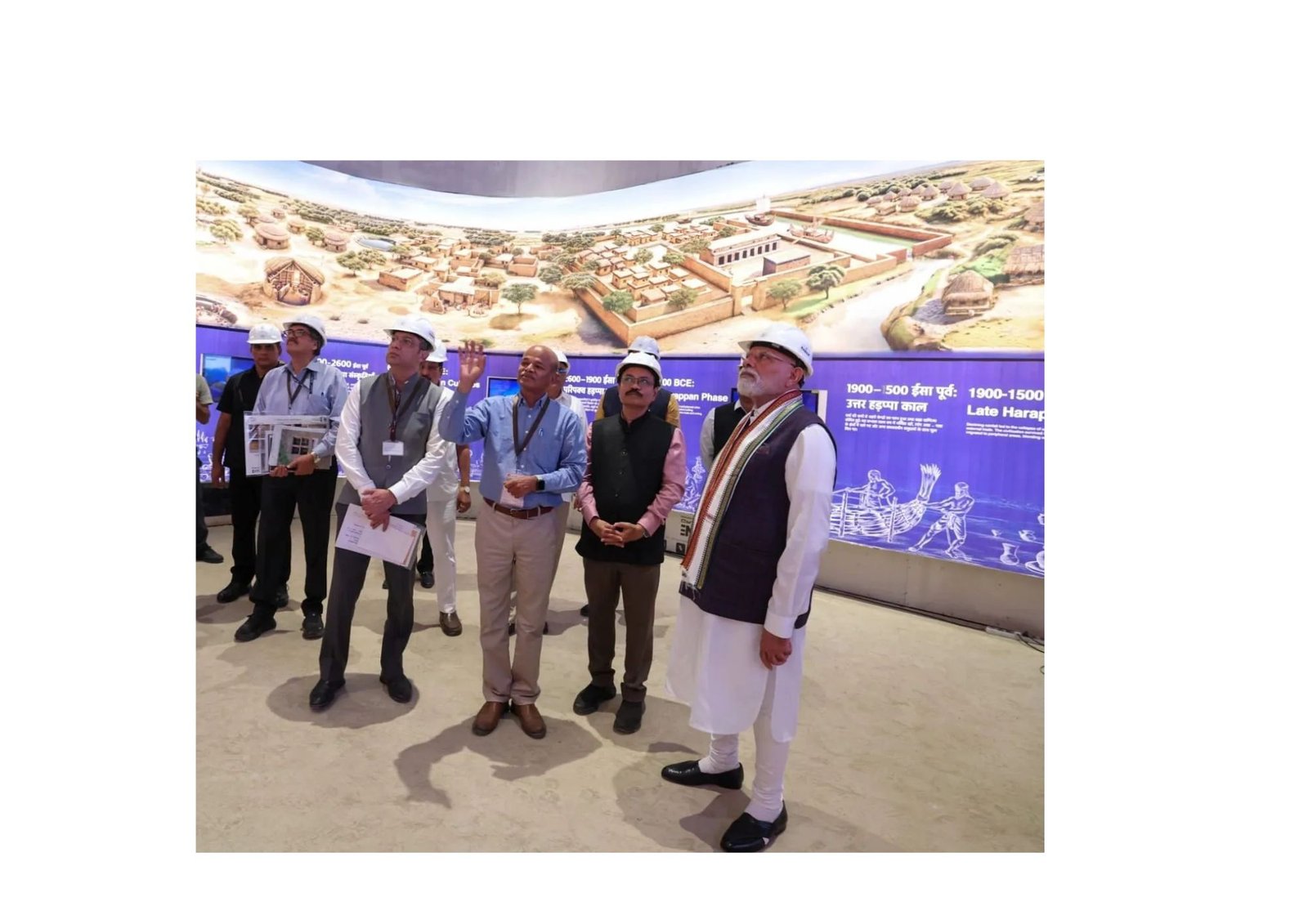
Lothal is not only an archaeological site but part of a wider regional landscape shaped by heritage, settlements, infrastructure, tourism and future development.
LADA
Lothal Area Development Authority
- 8 Villages
- Within the LADA framework
- 196.88 sq. km.
- Area covered
- LADA
- Lothal Area Development Authority
Regional Overview
Lothal–LADA Regional Overview
Village Maps
The 8 Villages of the Lothal Region
The Lothal Area Development Authority framework encompasses eight villages forming the wider planning and development landscape around Lothal.
Lothal Beyond the Archaeological Site
Lothal's future extends beyond the archaeological site. Regional planning connects heritage conservation with infrastructure, tourism, environmental considerations and the development of surrounding settlements.
Heritage in the Region